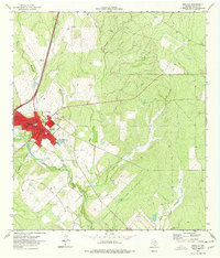
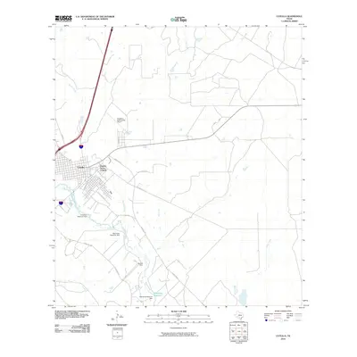
1974 Map of Cotulla
USGS Topo · Published 1977About this map
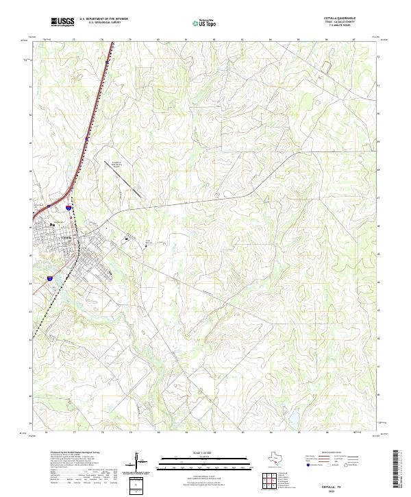
Cotulla serves as the focal point of this South Texas landscape, where the concentrated street grid of the county seat meets the winding course of the Nueces River. The town's layout is closely tied to the Missouri Pacific railroad line, which runs parallel to the modern corridor of Interstate 35. This mapping reveals a community transitioning between its traditional rail-and-river foundations and the expanding infrastructure of the mid-1970s, evidenced by the Municipal Airport and Sewage Disposal Ponds on the town's periphery. Local life is centered around landmarks like the Jr High Sch, Hosp, and Alexander Park. To the east and north, the terrain gives way to the drainage basins of Mustang Creek and Elm Creek, where smaller settlements like Altita and Fitch appear as quiet rural points on the map.
Find a feature on this map
20 named features on this map. Tap any name to fly to it.
Don’t see what you’re looking for? This feature index may not catch every label — zoom into the map to look around manually.
Map Details
Editions of this 1974 Cotulla Map
This is the sole edition of this map. No revisions or reprints were ever made.
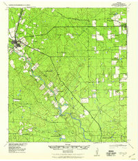
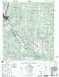
Historical Maps of Cotulla Through Time
10 maps found

1929 Cotulla
La Salle County, TX
1940 Cotulla
La Salle County, TX
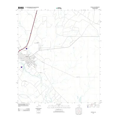
1974 Cotulla
La Salle County, TX
1985 Cotulla
La Salle County, TX
2002 Cotulla
La Salle County, TX
2010 Cotulla
La Salle County, TX
2013 Cotulla
La Salle County, TX
2016 Cotulla
La Salle County, TX
2019 Cotulla
La Salle County, TX
2022 Cotulla
La Salle County, TX