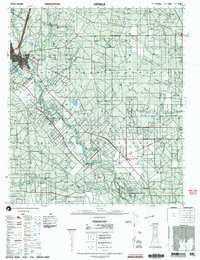
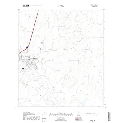
1985 Map of Cotulla
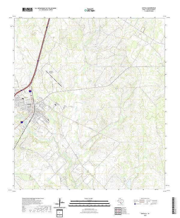
USGS Topo · Published 1992About this map
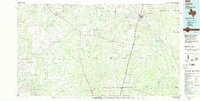
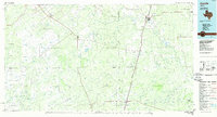
The Nueces River winds through this South Texas landscape, anchoring a region defined by cattle ranching and early transportation corridors during the mid-1980s. The Missouri Pacific railroad serves as a primary north-south spine, connecting the county seat of Cotulla with smaller rail-aligned settlements like Artesia Wells and Encinal. This network reflects the era's reliance on rail for moving goods across the semi-arid brush country, contrasted by the presence of an Old Railroad Grade that hints at former routes no longer in service.
Find a feature on this map
39 named features on this map. Tap any name to fly to it.
Don’t see what you’re looking for? This feature index may not catch every label — zoom into the map to look around manually.
Map Details
Editions of this 1985 Cotulla Map
2 editions found
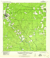
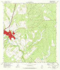
Historical Maps of Cotulla Through Time
10 maps found

1929 Cotulla
La Salle County, TX
1940 Cotulla
La Salle County, TX
1974 Cotulla
La Salle County, TX
1985 Cotulla
La Salle County, TX
2002 Cotulla
La Salle County, TX
2010 Cotulla
La Salle County, TX
2013 Cotulla
La Salle County, TX
2016 Cotulla
La Salle County, TX
2019 Cotulla
La Salle County, TX
2022 Cotulla
La Salle County, TX