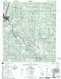
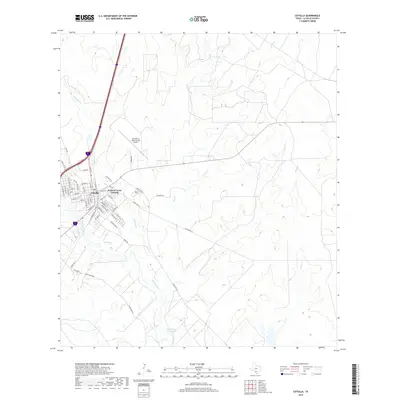
1985 Map of Cotulla
USGS Topo · Published 1985About this map
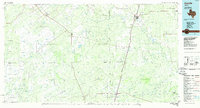
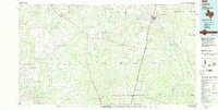
South Texas brush country and the drainage basins of the Nueces River define this 1985 landscape. The town of Cotulla serves as the regional hub, situated where the Missouri Pacific railroad crosses the river. The map illustrates a transitional period in rural infrastructure, showing the active rail line alongside an Old Railroad Grade near the LaSalle and McMullen county line. Smaller settlements like Asherton, Catarina, and Artesia Wells are connected by a web of ranch roads that navigate a complex network of intermittent streams, including San Roque Creek and Las Raices Creek. The terrain is generally low-lying, punctuated by landmarks such as Piloncillo Hill. This planimetric survey captures the region’s established ranching character and the importance of water management in a semi-arid environment, as evidenced by the numerous named creeks like Dolores Creek and Espejo Creek that feed into the larger Nueces system.
Find a feature on this map
41 named features on this map. Tap any name to fly to it.
Don’t see what you’re looking for? This feature index may not catch every label — zoom into the map to look around manually.
Map Details
Editions of this 1985 Cotulla Map
2 editions found
Historical Maps of Cotulla Through Time
10 maps found

1929 Cotulla
La Salle County, TX
1940 Cotulla
La Salle County, TX
1974 Cotulla
La Salle County, TX
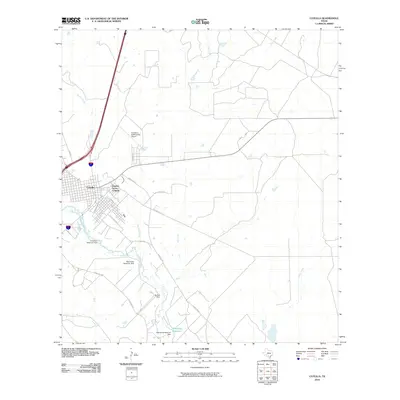
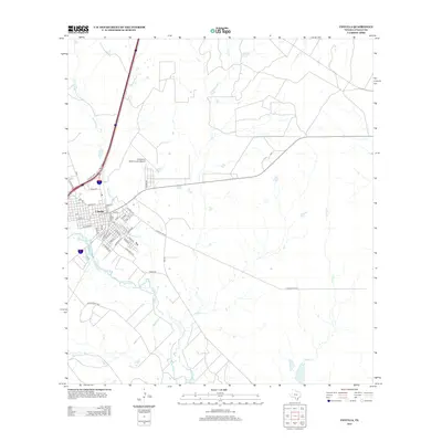
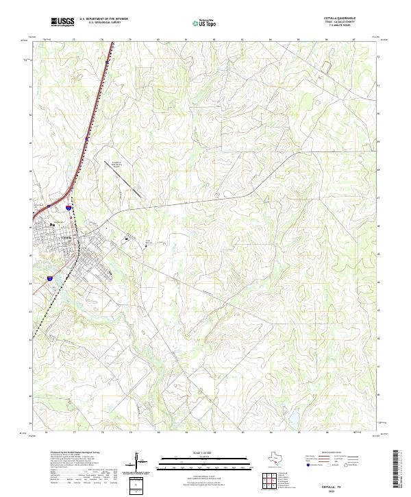
1985 Cotulla
La Salle County, TX
2002 Cotulla
La Salle County, TX
2010 Cotulla
La Salle County, TX
2013 Cotulla
La Salle County, TX
2016 Cotulla
La Salle County, TX
2019 Cotulla
La Salle County, TX
2022 Cotulla
La Salle County, TX