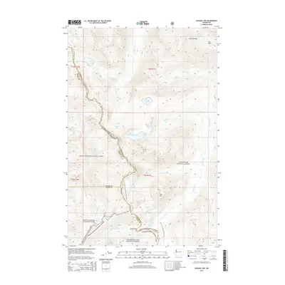
2014 Map of Cougar Lake
USGS Topo · Published 2014About this map
Mount Rainier National Park occupies the western edge of this high-elevation terrain, where the rugged topography forms a natural meeting point for three major public lands. The Pacific Crest National Scenic Trail winds along the spine of the Cascades, tracing the boundary between Snoqualmie National Forest and the Gifford Pinchot National Forest. This network of protected wilderness is defined by its dramatic hydrology, from the headwaters of the Bumping River and American River to a dense concentration of alpine water bodies like Dewey Lake, Swamp Lake, and the twin basins of Two Lakes. The landscape is dominated by significant ridgelines and peaks, including American Ridge and Crag Mtn, while Carlton Pass marks a historic transit point through the southern portion of the range.
Find a feature on this map
44 named features on this map. Tap any name to fly to it.
Don’t see what you’re looking for? This feature index may not catch every label — zoom into the map to look around manually.
Map Details
Editions of this 2014 Cougar Lake Map
This is the sole edition of this map. No revisions or reprints were ever made.
Other maps of this area

1902 · Mount Aix
USGS Topo · 1:125,000

1904 · Mt Aix
USGS Topo · 1:125,000

1924 · Mt Rainier
USGS Topo · 1:96,000

1928 · Mt Rainier
USGS Topo · 1:125,000

1950 · Yakima
USGS Topo · 1:250,000

1958 · Yakima
USGS Topo · 1:250,000

1961 · Yakima
USGS Topo · 1:250,000

1962 · Bumping Lake
USGS Topo · 1:62,500

1962 · White Pass
USGS Topo · 1:62,500

1962 · Packwood
USGS Topo · 1:62,500