2021 Map of Coulterville
USGS Topo · Published 2021About this map
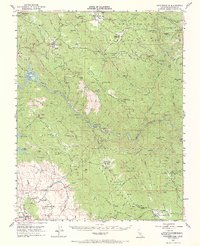
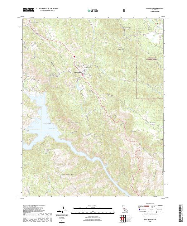
The Gold Rush-era settlement of Coulterville serves as the hub of this Mariposa County landscape, where the Sierra Nevada foothills meet the northern reach of Lake McClure. The town site is marked by its dual burial grounds, the Coulterville Chinese Cem and the Coulterville Public Cem, reflecting the diverse cultural history of this mining region. To the east, the settlement of Dogtown sits near the boundary of the Stanislaus National Forest, connected by a network of steep fire roads and historical routes like Doctown Rd and Dogtown Rd.
Find a feature on this map
64 named features on this map. Tap any name to fly to it.
Don’t see what you’re looking for? This feature index may not catch every label — zoom into the map to look around manually.
Map Details
Editions of this 2021 Coulterville Map
This is the sole edition of this map. No revisions or reprints were ever made.
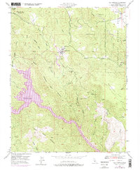
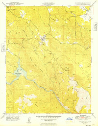
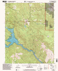
Historical Maps of Mariposa County Through Time
5 maps found