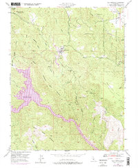
1947 Map of Coulterville
USGS Topo · Published 1976About this map
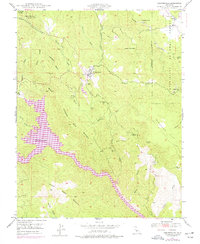
Coulterville and the surrounding Sierra Nevada foothills are captured in this mid-century topographic record, reflecting a landscape defined by its mining heritage and rugged water systems. The map illustrates the legacy of gold mining in the region with the Mary Harrison Mine, the Gold Coin Mine, and the Virginia Mine (Abandoned) scattered across the steep gulches. A notable update to the 1947 field check is the purple-shaded depiction of Lake McClure, showing its 1973 water level as it reached into Horseshoe Bend. Small settlements and landmarks such as Dogtown and Greeley Hill highlight the distributed population centers, while the Greeley Sch and local Cem serve as essential reference points for genealogists. The terrain is deeply dissected by drainages like Maxwell Creek and Buckhorn Creek, which flow through the eastern reaches of the Stanislaus National Forest.
Find a feature on this map
34 named features on this map. Tap any name to fly to it.
Don’t see what you’re looking for? This feature index may not catch every label — zoom into the map to look around manually.
Map Details
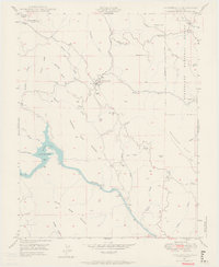
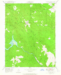
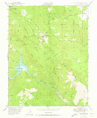
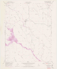
Editions of this 1947 Coulterville Map
6 editions found
Other maps of this area

1893 · Sonora
USGS Topo · 1:125,000

1896 · Sonora
USGS Topo · 1:125,000

1897 · Sonora
USGS Topo · 1:125,000

1898 · Sonora
USGS Topo · 1:125,000

1916 · Merced Falls
USGS Topo · 1:24,000

1919 · Merced Falls
USGS Topo · 1:31,680

1944 · Merced Falls
USGS Topo · 1:62,500

1947 · San Jose
USGS Topo · 1:250,000

1947 · Coulterville
USGS Topo · 1:62,500
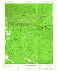
1947 · Jawbone Ridge
USGS Topo · 1:24,000