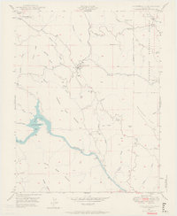
1947 Map of Coulterville
USGS Topo · Published 1964About this map
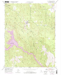
The gold mining heritage of the Mother Lode is etched into this 1940s landscape, centered on Coulterville at the junction of Blacks Creek and Maxwell Creek. The terrain is marked by remnants of hard-rock extraction, including the Mary Harrison Mine and the Virginia Mine (Aban'd), showing the area's transition from active industry to a more settled rural character. Along the southern reaches, the Merced River flows through deep canyons, passing the Split Rock Ferry (Aban'd) and multiple Gaging Stations, while the western edge is dominated by the rising waters of Lake McClure at Horseshoe Bend. To the northeast, the Stanislaus National Forest boundary borders higher elevations like Greeley Hill, where the Greeley Sch served local families. The network of gulches—such as Whites Gulch and Rancho del Oro Gulch—hints at the extensive placer and vein mining that once defined this portion of Mariposa County.
Find a feature on this map
47 named features on this map. Tap any name to fly to it.
Don’t see what you’re looking for? This feature index may not catch every label — zoom into the map to look around manually.
Map Details
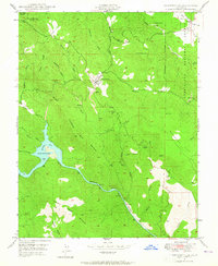
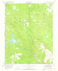
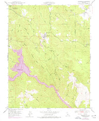
Editions of this 1947 Coulterville Map
6 editions found
Other maps of this area

1893 · Sonora
USGS Topo · 1:125,000

1896 · Sonora
USGS Topo · 1:125,000

1897 · Sonora
USGS Topo · 1:125,000

1898 · Sonora
USGS Topo · 1:125,000

1916 · Merced Falls
USGS Topo · 1:24,000

1919 · Merced Falls
USGS Topo · 1:31,680

1944 · Merced Falls
USGS Topo · 1:62,500

1947 · San Jose
USGS Topo · 1:250,000

1947 · Coulterville
USGS Topo · 1:62,500
1947 · Jawbone Ridge
USGS Topo · 1:24,000