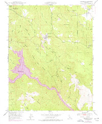
1947 Map of Coulterville
USGS Topo · Published 1976About this map
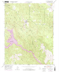
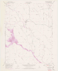
Coulterville and the surrounding gold-bearing terrain of Mariposa County are captured here just as the landscape was being reshaped by modern water management. The mapping, originally surveyed in 1947, was revised in 1973 to reflect the expanding reach of Lake McClure, which fills the deep ravines of Mountain Valley and Hunter Valley. This transition period shows the old Mother Lode era remnants, such as the Mary Harrison Mine and the Virginia Mine (Aban'd), alongside the emerging recreational and utility uses of the land.
Find a feature on this map
36 named features on this map. Tap any name to fly to it.
Don’t see what you’re looking for? This feature index may not catch every label — zoom into the map to look around manually.
Map Details
Editions of this 1947 Coulterville Map
6 editions found
Other maps of this area

1893 · Sonora
USGS Topo · 1:125,000

1896 · Sonora
USGS Topo · 1:125,000

1897 · Sonora
USGS Topo · 1:125,000

1898 · Sonora
USGS Topo · 1:125,000

1916 · Merced Falls
USGS Topo · 1:24,000

1919 · Merced Falls
USGS Topo · 1:31,680

1944 · Merced Falls
USGS Topo · 1:62,500

1947 · San Jose
USGS Topo · 1:250,000

1947 · Coulterville
USGS Topo · 1:62,500
1947 · Jawbone Ridge
USGS Topo · 1:24,000