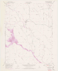
1947 Map of Coulterville
USGS Topo · Published 1976About this map
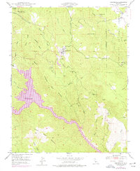
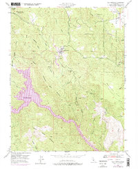
Coulterville stands as the central hub of this Mariposa County landscape, which transitioned from a hard-rock mining center to a recreational area by the mid-20th century. The 1973 purple revision layer reveals the significant impact of the rising Lake McClure, as its waters pushed up Horseshoe Bend and into the canyons of Hunter Valley. While the town remains a focal point, the surrounding hills are marked by the history of the Mother Lode, including the Mary Harrison Mine and the Virginia Mine (Aban'd). To the east, the Stanislaus National Forest boundary borders Greeley Hill, where the local Greeley Sch and the settlement of Dogtown illustrate the small, dispersed communities that define this rugged Sierra Nevada foothills region.
Find a feature on this map
37 named features on this map. Tap any name to fly to it.
Don’t see what you’re looking for? This feature index may not catch every label — zoom into the map to look around manually.
Map Details
Editions of this 1947 Coulterville Map
6 editions found
Other maps of this area

1893 · Sonora
USGS Topo · 1:125,000

1896 · Sonora
USGS Topo · 1:125,000

1897 · Sonora
USGS Topo · 1:125,000

1898 · Sonora
USGS Topo · 1:125,000

1916 · Merced Falls
USGS Topo · 1:24,000

1919 · Merced Falls
USGS Topo · 1:31,680

1944 · Merced Falls
USGS Topo · 1:62,500

1947 · San Jose
USGS Topo · 1:250,000

1947 · Coulterville
USGS Topo · 1:62,500
1947 · Jawbone Ridge
USGS Topo · 1:24,000