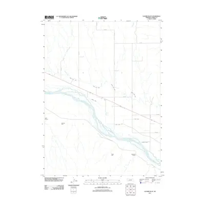
2011 Map of Coumbe Bluff
USGS Topo · Published 2011About this map
The braided channels of the North Platte River dominate this portion of Garden County, Nebraska, illustrating a complex hydrologic system managed for agricultural endurance. Irrigation infrastructure is the defining characteristic of the landscape, with the North River Canal, Spohn Canal, Lyons Canal, and Oshkosh Canal all pulling from the river to support the surrounding plains. The settlement of Penn is situated near the riverbanks, serving as a human anchor in a terrain otherwise defined by drainage features like Mutton Creek and Lost Creek.
Find a feature on this map
23 named features on this map. Tap any name to fly to it.
Don’t see what you’re looking for? This feature index may not catch every label — zoom into the map to look around manually.
Map Details
Editions of this 2011 Coumbe Bluff Map
This is the sole edition of this map. No revisions or reprints were ever made.
Other maps of this area

1896 · Browns Creek
USGS Topo · 1:125,000

1899 · Browns Creek
USGS Topo · 1:125,000

1899 · Sidney
USGS Topo · 1:125,000

1900 · Chappell
USGS Topo · 1:125,000

1950 · Crescent Lake
USGS Topo · 1:62,500

1954 · Scottsbluff
USGS Topo · 1:250,000

1958 · Scottsbluff
USGS Topo · 1:250,000

1971 · Barn Butte
USGS Topo · 1:24,000

1971 · Oshkosh SW
USGS Topo · 1:24,000

1971 · Coumbe Bluff
USGS Topo · 1:24,000