
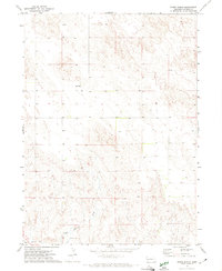
1971 Map of Coumbe Bluff
USGS Topo · Published 1974About this map
The North Platte River corridor dominates this 1970s landscape, serving as a historic conduit for transportation and irrigation in Garden County. The map clearly delineates the parallel paths of the Emigrant Trail and Oregon Trail, which flank the river valley, marking the legacy of westward expansion. North of the river, the Union Pacific railroad runs straight through the terrain, passing landmarks like Penn Sch and a local Gravel Pit.
Find a feature on this map
22 named features on this map. Tap any name to fly to it.
Don’t see what you’re looking for? This feature index may not catch every label — zoom into the map to look around manually.
Map Details
Editions of this 1971 Coumbe Bluff Map
This is the sole edition of this map. No revisions or reprints were ever made.
Other maps of this area

1896 · Browns Creek
USGS Topo · 1:125,000

1899 · Browns Creek
USGS Topo · 1:125,000

1899 · Sidney
USGS Topo · 1:125,000

1900 · Chappell
USGS Topo · 1:125,000

1950 · Crescent Lake
USGS Topo · 1:62,500

1954 · Scottsbluff
USGS Topo · 1:250,000

1958 · Scottsbluff
USGS Topo · 1:250,000

1971 · Barn Butte
USGS Topo · 1:24,000

1971 · Oshkosh SW
USGS Topo · 1:24,000
1971 · Buske Ranch
USGS Topo · 1:24,000