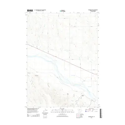
2014 Map of Coumbe Bluff
USGS Topo · Published 2014About this map
The North Platte River winds through this Nebraska landscape, defining a wide alluvial corridor managed by an intricate network of irrigation infrastructure. This 2014 survey documents the vital water management systems of the region, including the N River Canal, Spohn Canal, Lyons Canal, and Oshkosh Canal, which divert water to sustain the surrounding agricultural valley. The topography rises sharply from the riverbanks to prominent landmarks such as Coumbe Bluff and the distinct peak of Sugar Loaf. Drainage from the higher tablelands is channeled through Wolf Canyon and Grapevine Canyon, while smaller water bodies like Kincaid Lake and seasonal flows such as Mutton Cr and Lost Cr provide further geographic detail. The map reveals the relationship between natural hydrology and human engineering in a modern prairie setting.
Find a feature on this map
25 named features on this map. Tap any name to fly to it.
Don’t see what you’re looking for? This feature index may not catch every label — zoom into the map to look around manually.
Map Details
Editions of this 2014 Coumbe Bluff Map
This is the sole edition of this map. No revisions or reprints were ever made.
Other maps of this area

1896 · Browns Creek
USGS Topo · 1:125,000

1899 · Browns Creek
USGS Topo · 1:125,000

1899 · Sidney
USGS Topo · 1:125,000

1900 · Chappell
USGS Topo · 1:125,000

1950 · Crescent Lake
USGS Topo · 1:62,500

1954 · Scottsbluff
USGS Topo · 1:250,000

1958 · Scottsbluff
USGS Topo · 1:250,000

1971 · Barn Butte
USGS Topo · 1:24,000

1971 · Oshkosh SW
USGS Topo · 1:24,000

1971 · Coumbe Bluff
USGS Topo · 1:24,000