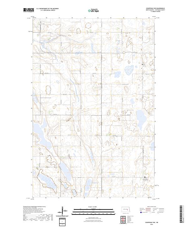
2024 Map of Courtenay NW
USGS Topo · Published 2024About this map
Stutsman County's prairie landscape is defined by the extensive Stutsman County Waterfowl Production Area, which spans multiple sections of this North Dakota terrain. The map documents a sparsely populated agricultural region where local history is anchored by sites like Saint Marys Cem and the German Zion Evangelical Lutheran Cem. This rural grid is punctuated by natural water features such as Stony Brook in the northwest and Rudolph Lake to the south. The transition from these wetlands to the structured township lines of t144n r64w and t143n r63w illustrates the enduring Public Land Survey System layout. This 2024 data provides a contemporary view of the region's conservation areas and family burial grounds, reflecting the long-term land use patterns of the Great Plains.
Find a feature on this map
25 named features on this map. Tap any name to fly to it.
Don’t see what you’re looking for? This feature index may not catch every label — zoom into the map to look around manually.
Map Details
Editions of this 2024 Courtenay NW Map
This is the sole edition of this map. No revisions or reprints were ever made.
Other maps of this area

1900 · Pingree
USGS Topo · 1:125,000

1900 · Pingree
USGS Topo · 1:62,500

1950 · Buchanan
USGS Topo · 1:24,000

1950 · Fried
USGS Topo · 1:24,000

1951 · Fried
USGS Topo · 1:24,000

1951 · Arrowwood Lake
USGS Topo · 1:24,000

1951 · Spiritwood Lake
USGS Topo · 1:24,000

1951 · Kensal
USGS Topo · 1:24,000

1951 · Courtenay
USGS Topo · 1:24,000

1951 · Kensal SE
USGS Topo · 1:24,000