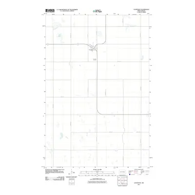
2011 Map of Courtenay
USGS Topo · Published 2011About this map
The settlement of Courtenay sits at the heart of this East-Central North Dakota landscape, situated along a network of agricultural roads and the historic path of Railway Ave W. The layout of the town reflects the grid-based development typical of the prairie, where the local economy and social life were closely tied to transportation corridors like Old Highway 20 NE. Just outside the residential center lies the Courtenay Cemetery, a critical point of interest for genealogists tracing families from Stutsman County.
Find a feature on this map
17 named features on this map. Tap any name to fly to it.
Don’t see what you’re looking for? This feature index may not catch every label — zoom into the map to look around manually.
Map Details
Editions of this 2011 Courtenay Map
This is the sole edition of this map. No revisions or reprints were ever made.
Other maps of this area

1900 · Pingree
USGS Topo · 1:125,000

1950 · Fried
USGS Topo · 1:24,000

1951 · Fried
USGS Topo · 1:24,000

1951 · Spiritwood Lake
USGS Topo · 1:24,000

1951 · Kensal
USGS Topo · 1:24,000

1951 · Courtenay
USGS Topo · 1:24,000

1951 · Kensal SE
USGS Topo · 1:24,000

1952 · Courtenay NW
USGS Topo · 1:24,000

1952 · New Rockford
USGS Topo · 1:250,000

1956 · New Rockford
USGS Topo · 1:250,000