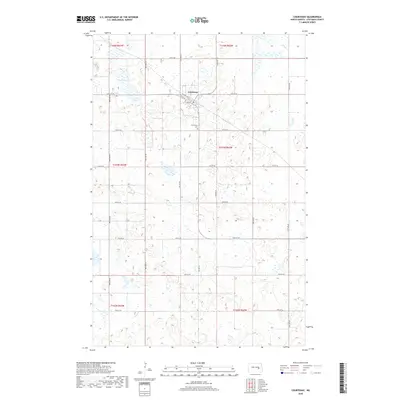
2018 Map of Courtenay
USGS Topo · Published 2018About this map
Courtenay serves as the central hub of this prairie landscape, situated at the junction of Railway Ave W and 1st St W. The town's layout reflects a classic Midwestern grid, extending south toward the Courtenay Cem. The surrounding terrain in Stutsman County is defined by the unique prairie pothole topography, with numerous small depressions and seasonal wetlands characteristic of the region's post-glacial geography. Fox Lake sits to the northwest, one of the few larger permanent water bodies in an area otherwise dominated by the strictly regular sections of the Public Land Survey System. These sections are neatly partitioned by a network of rural roads such as 12th St SE and 92nd Ave SE, which facilitate the agricultural rhythm of the North Dakota plains.
Find a feature on this map
26 named features on this map. Tap any name to fly to it.
Don’t see what you’re looking for? This feature index may not catch every label — zoom into the map to look around manually.
Map Details
Editions of this 2018 Courtenay Map
This is the sole edition of this map. No revisions or reprints were ever made.
Other maps of this area

1900 · Pingree
USGS Topo · 1:125,000

1950 · Fried
USGS Topo · 1:24,000

1951 · Fried
USGS Topo · 1:24,000

1951 · Spiritwood Lake
USGS Topo · 1:24,000

1951 · Kensal
USGS Topo · 1:24,000

1951 · Courtenay
USGS Topo · 1:24,000

1951 · Kensal SE
USGS Topo · 1:24,000

1952 · Courtenay NW
USGS Topo · 1:24,000

1952 · New Rockford
USGS Topo · 1:250,000

1956 · New Rockford
USGS Topo · 1:250,000