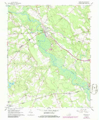
1967 Map of Courtland
USGS Topo · Published 1986About this map
The Nottoway River anchors this Southampton County landscape, winding past the county seat of Courtland and through a complex network of wetlands including Assamoosick Swamp and Mill Swamp. By the late 1960s, the area’s infrastructure reflects its role as a regional center, featuring multiple educational facilities like the Jerusalem District Sch and Southampton High Sch. The town is a focal point for the Norfolk and Western railroad, while the Seaboard line serves the southern settlements of Handsom and Newsoms.
Find a feature on this map
31 named features on this map. Tap any name to fly to it.
Don’t see what you’re looking for? This feature index may not catch every label — zoom into the map to look around manually.
Map Details
Editions of this 1967 Courtland Map
2 editions found
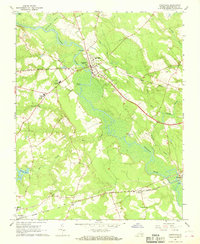
Other maps of this area

1919 · Homeville
USGS Topo · 1:48,000

1919 · Boykins
USGS Topo · 1:48,000

1920 · Holland
USGS Topo · 1:62,500

1920 · Ivor
USGS Topo · 1:62,500

1920 · Homeville
USGS Topo · 1:62,500

1920 · Boykins
USGS Topo · 1:62,500

1943 · Holland
USGS Topo · 1:62,500

1943 · Sebrell
USGS Topo · 1:31,680

1943 · Vicksville
USGS Topo · 1:31,680

1944 · Sedley
USGS Topo · 1:24,000