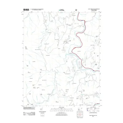
2011 Map of Cove Creek Gap
USGS Topo · Published 2011About this map
Shelton Laurel and the surrounding mountain ridges define the landscape of this 2011 topographic study in western North Carolina. The Pigeon River carves a path through the terrain, moderated by Walters Dam, while old routes like Hurricane Creek Rd and National Park Rd traverse the steep elevations. This area is characterized by family-named mountain features such as Scottish Mount, Messer Gap, and Dogwood Flats.
Find a feature on this map
126 named features on this map. Tap any name to fly to it.
Don’t see what you’re looking for? This feature index may not catch every label — zoom into the map to look around manually.
Map Details
Editions of this 2011 Cove Creek Gap Map
This is the sole edition of this map. No revisions or reprints were ever made.
Other maps of this area

1893 · Mt Guyot
USGS Topo · 1:125,000

1894 · Asheville
USGS Topo · 1:125,000

1901 · Asheville
USGS Topo · 1:125,000

1912 · Mt Guyot
USGS Topo · 1:125,000

1935 · Newport
USGS Topo · 1:48,000

1935 · Hartford
USGS Topo · 1:24,000

1935 · Dellwood
USGS Topo · 1:24,000

1935 · Clyde
USGS Topo · 1:24,000

1935 · Lemon Gap
USGS Topo · 1:24,000

1936 · Bunches Bald
USGS Topo · 1:24,000