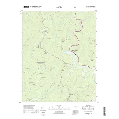
2019 Map of Cove Creek Gap
USGS Topo · Published 2019About this map
The boundary between Great Smoky Mountains National Park and Pisgah National Forest splits this landscape, where high ridgelines like Mt Sterling Ridge and Teaberry Ridge drop into deep creek drainages. The Pigeon River flows through the eastern portion, paralleled by I-40 as it winds through the mountains. For historians, the map is remarkably dense with family-named landmarks and remote burial sites, documenting the deep-rooted mountain communities that existed before and after park establishment.
Find a feature on this map
135 named features on this map. Tap any name to fly to it.
Don’t see what you’re looking for? This feature index may not catch every label — zoom into the map to look around manually.
Map Details
Editions of this 2019 Cove Creek Gap Map
This is the sole edition of this map. No revisions or reprints were ever made.
Other maps of this area

1893 · Mt Guyot
USGS Topo · 1:125,000

1894 · Asheville
USGS Topo · 1:125,000

1901 · Asheville
USGS Topo · 1:125,000

1912 · Mt Guyot
USGS Topo · 1:125,000

1935 · Newport
USGS Topo · 1:48,000

1935 · Hartford
USGS Topo · 1:24,000

1935 · Dellwood
USGS Topo · 1:24,000

1935 · Clyde
USGS Topo · 1:24,000

1935 · Lemon Gap
USGS Topo · 1:24,000

1936 · Bunches Bald
USGS Topo · 1:24,000