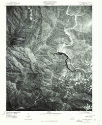
1976 Map of Cove Creek Gap
USGS Topo · Published 1979About this map
Pigeon River carves a winding path through this corner of Haywood County, where the high ridges of the Great Smoky Mountains define the local landscape. Captured via aerial photography in the mid-1970s, this orthophotoquad reveals the intricate drainage patterns of Cataloochee Creek and Jonathan Creek as they feed into the larger river system. The geography is anchored by prominent landforms such as White Oak Mountain and Hurricane Mountain, with Cove Creek Gap serving as a critical passage between these steep elevations.
Find a feature on this map
8 named features on this map. Tap any name to fly to it.
Don’t see what you’re looking for? This feature index may not catch every label — zoom into the map to look around manually.
Map Details
Editions of this 1976 Cove Creek Gap Map
This is the sole edition of this map. No revisions or reprints were ever made.
Other maps of this area

1893 · Mt Guyot
USGS Topo · 1:125,000

1894 · Asheville
USGS Topo · 1:125,000

1901 · Asheville
USGS Topo · 1:125,000

1912 · Mt Guyot
USGS Topo · 1:125,000

1935 · Newport
USGS Topo · 1:48,000

1935 · Hartford
USGS Topo · 1:24,000

1935 · Dellwood
USGS Topo · 1:24,000

1935 · Clyde
USGS Topo · 1:24,000

1935 · Lemon Gap
USGS Topo · 1:24,000

1936 · Bunches Bald
USGS Topo · 1:24,000