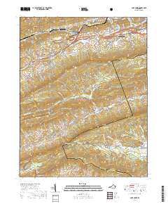
2019 Map of Cove Creek
USGS Topo · Published 2019About this map
Bluefield and the surrounding Appalachian ridges define this corner of Tazewell County, where suburban developments give way to the forested slopes of East River Mtn and Buckhorn Mtn. The landscape is a study in contrasting settlement patterns, from the organized streets of Shannandale to the historic agrarian valley of Burkes Garden. Genealogists will find significant local history markers at Maple Hill Cem, Valley Vista Cem, and the expansive Grandview Memory Gardens.
Find a feature on this map
110 named features on this map. Tap any name to fly to it.
Don’t see what you’re looking for? This feature index may not catch every label — zoom into the map to look around manually.
Map Details
Editions of this 2019 Cove Creek Map
This is the sole edition of this map. No revisions or reprints were ever made.
Other maps of this area

1887 · Pocahontas
USGS Topo · 1:125,000

1891 · Pocahontas
USGS Topo · 1:125,000

1894 · Pocahontas
USGS Topo · 1:125,000

1895 · Pocahontas
USGS Topo · 1:125,000

1909 · Pocahontas Special
USGS Topo · 1:48,000

1911 · Pocahontas Special
USGS Topo · 1:62,500

1913 · Bluefield
USGS Topo · 1:48,000

1916 · Bluefield
USGS Topo · 1:62,500

1924 · Bramwell
USGS Topo · 1:62,500

1924 · Bluefield
USGS Topo · 1:62,500