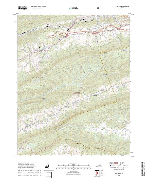
2022 Map of Cove Creek
USGS Topo · Published 2022About this map
East River Mtn and Rich Mtn define this section of the Appalachian landscape, where the Jefferson National Forest spans several prominent ridges. The geography here is characterized by narrow valleys and significant gaps that have historically dictated travel and settlement patterns. The Bluestone River and Wolf Creek drain these divergent slopes, while the Trl of the Lonesome Pine winds through the northern corridor.
Find a feature on this map
61 named features on this map. Tap any name to fly to it.
Don’t see what you’re looking for? This feature index may not catch every label — zoom into the map to look around manually.
Map Details
Editions of this 2022 Cove Creek Map
This is the sole edition of this map. No revisions or reprints were ever made.
Other maps of this area

1887 · Pocahontas
USGS Topo · 1:125,000

1891 · Pocahontas
USGS Topo · 1:125,000

1894 · Pocahontas
USGS Topo · 1:125,000

1895 · Pocahontas
USGS Topo · 1:125,000

1909 · Pocahontas Special
USGS Topo · 1:48,000

1911 · Pocahontas Special
USGS Topo · 1:62,500

1913 · Bluefield
USGS Topo · 1:48,000

1916 · Bluefield
USGS Topo · 1:62,500

1924 · Bramwell
USGS Topo · 1:62,500

1924 · Bluefield
USGS Topo · 1:62,500