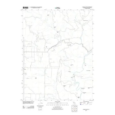
2012 Map of Covelo East
USGS Topo · Published 2012About this map
Round Valley serves as the topographic anchor for this section of Mendocino County, where the valley floor meets the rising terrain of the California Coast Ranges. The settlement of Covelo sits at the western edge of this map, surrounded by a grid of local roads like Mendocino Pass Rd and Agency Rd. The presence of Yuki Cem and Nome Lackee Cem provides critical points for genealogical research, while family-named landmarks such as Spencer Ranch and Cubbler Place offer a look into the rural homesteading history of the region.
Find a feature on this map
51 named features on this map. Tap any name to fly to it.
Don’t see what you’re looking for? This feature index may not catch every label — zoom into the map to look around manually.
Map Details
Editions of this 2012 Covelo East Map
This is the sole edition of this map. No revisions or reprints were ever made.
Other maps of this area

1920 · Covelo
USGS Topo · 1:62,500

1926 · Covelo
USGS Topo · 1:62,500

1929 · Eden Valley
USGS Topo · 1:62,500

1951 · Laytonville
USGS Topo · 1:62,500

1952 · Spyrock
USGS Topo · 1:62,500

1952 · Eden Valley
USGS Topo · 1:62,500

1952 · Covelo
USGS Topo · 1:62,500

1957 · Ukiah
USGS Topo · 1:250,000

1960 · Ukiah
USGS Topo · 1:250,000
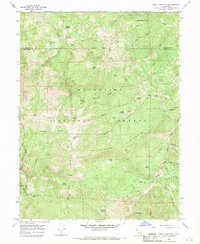
1966 · Leech Lake Mountain
USGS Topo · 1:24,000