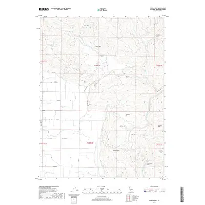
2018 Map of Covelo East
USGS Topo · Published 2018About this map
Round Valley and the smaller Williams Valley define this landscape on the eastern edge of Mendocino County. The settlement of Covelo serves as the local anchor, with a grid of rural lanes like Shady Ln and Barnes Ln radiating into the valley floor. Ancestral and pioneer history is deeply rooted here, marked by the Nome Lackee Cem and Yuki Cem near the junction of Short Creek Rd and Bauer Drewry.
Find a feature on this map
56 named features on this map. Tap any name to fly to it.
Don’t see what you’re looking for? This feature index may not catch every label — zoom into the map to look around manually.
Map Details
Editions of this 2018 Covelo East Map
This is the sole edition of this map. No revisions or reprints were ever made.
Other maps of this area
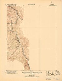
1920 · Covelo
USGS Topo · 1:62,500
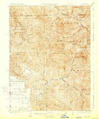
1926 · Covelo
USGS Topo · 1:62,500
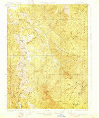
1929 · Eden Valley
USGS Topo · 1:62,500
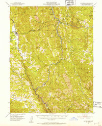
1951 · Laytonville
USGS Topo · 1:62,500
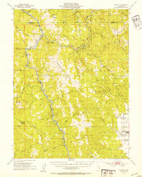
1952 · Spyrock
USGS Topo · 1:62,500
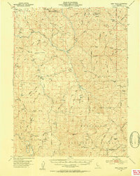
1952 · Eden Valley
USGS Topo · 1:62,500
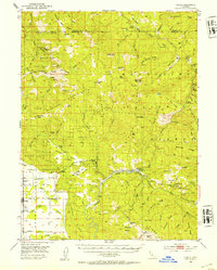
1952 · Covelo
USGS Topo · 1:62,500
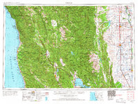
1957 · Ukiah
USGS Topo · 1:250,000
1960 · Ukiah
USGS Topo · 1:250,000
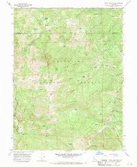
1966 · Leech Lake Mountain
USGS Topo · 1:24,000