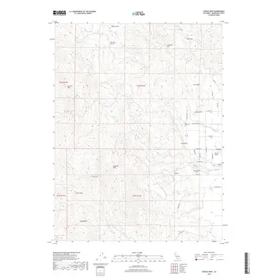
2018 Map of Covelo West
USGS Topo · Published 2018About this map
Round Valley serves as a prominent geographic anchor in the eastern portion of this map, where the small community of Covelo meets the rising foothills. The landscape is defined by a series of named ridges and flats that suggest a history of seasonal grazing and mineral exploration, notably Gas Mine Ridge and Poonkinny Ridge. Low-lying areas like Wylettie Flat and Skunk Flat break the higher elevations of the Mendocino interior, while Little Valley sits just west of the main settlement.
Find a feature on this map
59 named features on this map. Tap any name to fly to it.
Don’t see what you’re looking for? This feature index may not catch every label — zoom into the map to look around manually.
Map Details
Editions of this 2018 Covelo West Map
This is the sole edition of this map. No revisions or reprints were ever made.
Other maps of this area

1920 · Covelo
USGS Topo · 1:62,500

1926 · Covelo
USGS Topo · 1:62,500

1929 · Eden Valley
USGS Topo · 1:62,500

1951 · Laytonville
USGS Topo · 1:62,500

1952 · Spyrock
USGS Topo · 1:62,500

1952 · Eden Valley
USGS Topo · 1:62,500

1952 · Covelo
USGS Topo · 1:62,500

1957 · Ukiah
USGS Topo · 1:250,000

1960 · Ukiah
USGS Topo · 1:250,000
1967 · Covelo West
USGS Topo · 1:24,000