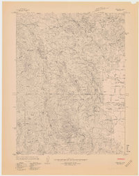
1967 Map of Covelo West
USGS Topo · Published 1967About this map
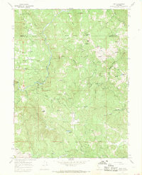
Round Valley Indian Reservation Boundary defines the eastern transition from the ridges of Mendocino County into the agricultural flats of Round Valley. This 1967 manuscript survey shows Covelo as the regional hub, supported by a network of rural lanes including Sawmill Rd and Hopper Lane. The landscape reflects a mix of timber, ranching, and light industry, evidenced by the Sawmill near the Round Valley Airport and a Gas Mine tucked into the western slopes of Cherry Ridge. Genealogy researchers will find several notable burial grounds, such as Pine Grove Cem and Valley View Cem, along with local landmarks like the 7th Day Adventist Sch and the Round Valley High School. The terrain is marked by numerous family-named landmarks like Goforth Ridge and Eberly Creek, illustrating the deep-rooted settlement patterns of the Eel River basin.
Find a feature on this map
60 named features on this map. Tap any name to fly to it.
Don’t see what you’re looking for? This feature index may not catch every label — zoom into the map to look around manually.
Map Details
Editions of this 1967 Covelo West Map
4 editions found
Other maps of this area

1920 · Covelo
USGS Topo · 1:62,500

1926 · Covelo
USGS Topo · 1:62,500

1929 · Eden Valley
USGS Topo · 1:62,500

1951 · Laytonville
USGS Topo · 1:62,500

1952 · Spyrock
USGS Topo · 1:62,500

1952 · Eden Valley
USGS Topo · 1:62,500

1952 · Covelo
USGS Topo · 1:62,500

1957 · Ukiah
USGS Topo · 1:250,000

1960 · Ukiah
USGS Topo · 1:250,000
1967 · Mina
USGS Topo · 1:24,000