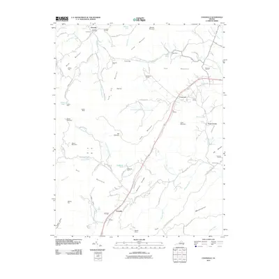
2010 Map of Covesville
USGS Topo · Published 2010About this map
Covesville sits within a complex terrain of ridges and valleys in Albemarle County, where the South Fork Hardware River and its many tributaries, such as Harris Branch and Hammer Branch, shape the land. This 2010 survey illustrates the rural character of the region, anchored by established settlements like North Garden and Batesville. The landscape is dominated by notable peaks including Israel Mountain, Cook Mountain, and Persimmon Mountain, which divide the watershed.
Find a feature on this map
101 named features on this map. Tap any name to fly to it.
Don’t see what you’re looking for? This feature index may not catch every label — zoom into the map to look around manually.
Map Details
Editions of this 2010 Covesville Map
This is the sole edition of this map. No revisions or reprints were ever made.
Other maps of this area

1892 · Buckingham
USGS Topo · 1:125,000

1892 · Harrisonburg
USGS Topo · 1:125,000

1929 · Covesville
USGS Topo · 1:62,500

1931 · University
USGS Topo · 1:62,500

1934 · Waynesboro
USGS Topo · 1:48,000

1935 · Covesville
USGS Topo · 1:62,500

1935 · University
USGS Topo · 1:62,500

1939 · Waynesboro
USGS Topo · 1:62,500

1943 · Lovingston
USGS Topo · 1:62,500

1945 · Covesville
USGS Topo · 1:62,500