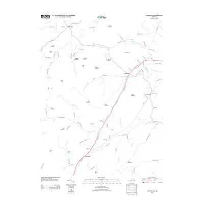
2013 Map of Covesville
USGS Topo · Published 2013About this map
Covesville and North Garden anchor this part of Albemarle County, where the Piedmont begins its ascent into the foothill ridges. The terrain is defined by the Ragged Mountains and numerous named peaks such as Tom Mountain, Heard Mountain, and Persimmon Mountain. This area is characterized by long-standing agricultural and residential patterns, evidenced by the cluster of settlements like Batesville, South Garden, and Crossroads. The landscape is intricately carved by the N Fork Hardware River and its various branches, alongside specialized landmarks like Bundoran Airport and the historic orientation of Israel Gap.
Find a feature on this map
116 named features on this map. Tap any name to fly to it.
Don’t see what you’re looking for? This feature index may not catch every label — zoom into the map to look around manually.
Map Details
Editions of this 2013 Covesville Map
This is the sole edition of this map. No revisions or reprints were ever made.
Other maps of this area

1892 · Buckingham
USGS Topo · 1:125,000

1892 · Harrisonburg
USGS Topo · 1:125,000

1929 · Covesville
USGS Topo · 1:62,500

1931 · University
USGS Topo · 1:62,500

1934 · Waynesboro
USGS Topo · 1:48,000

1935 · Covesville
USGS Topo · 1:62,500

1935 · University
USGS Topo · 1:62,500

1939 · Waynesboro
USGS Topo · 1:62,500

1943 · Lovingston
USGS Topo · 1:62,500

1945 · Covesville
USGS Topo · 1:62,500