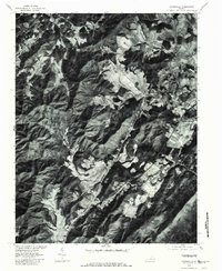
1979 Map of Covesville
USGS Topo · Published 1982About this map
Covesville and its surrounding orchard lands are the focal point of this 1979 orthophotoquad, which uses rectified aerial imagery to reveal the precise physical layout of Albemarle County. The landscape is defined by the sharp transition between the wooded heights of Heard Mountain and the cleared agricultural basins of the South Fork Hardware River. Linear patterns of orchards and farms are visible along the valley floors, concentrated around established settlements like Batesville, Crossroads, and the twin hamlets of North Garden and South Garden.
Find a feature on this map
11 named features on this map. Tap any name to fly to it.
Don’t see what you’re looking for? This feature index may not catch every label — zoom into the map to look around manually.
Map Details
Editions of this 1979 Covesville Map
This is the sole edition of this map. No revisions or reprints were ever made.
Other maps of this area

1892 · Buckingham
USGS Topo · 1:125,000

1892 · Harrisonburg
USGS Topo · 1:125,000

1929 · Covesville
USGS Topo · 1:62,500

1931 · University
USGS Topo · 1:62,500

1934 · Waynesboro
USGS Topo · 1:48,000

1935 · Covesville
USGS Topo · 1:62,500

1935 · University
USGS Topo · 1:62,500

1939 · Waynesboro
USGS Topo · 1:62,500

1943 · Lovingston
USGS Topo · 1:62,500

1945 · Covesville
USGS Topo · 1:62,500