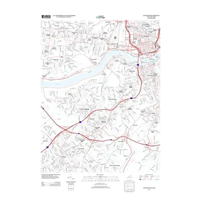
2013 Map of Covington
USGS Topo · Published 2013About this map
The Ohio River serves as the central artery for this 2013 survey, dividing the dense urban neighborhoods of Cincinnati from the hills of Northern Kentucky. On the northern bank, the map documents the historical layout of Over-The-Rhine and the public housing complexes of Laurel Homes and Lincoln Court. The riverfront is defined by a series of iconic crossings, including the John A Roebling Bridge and the Clay Wade Bailey Bridge, which link the industrial corridors of Sedamsville and Storrs to the Kentucky side.
Find a feature on this map
84 named features on this map. Tap any name to fly to it.
Don’t see what you’re looking for? This feature index may not catch every label — zoom into the map to look around manually.
Map Details
Editions of this 2013 Covington Map
This is the sole edition of this map. No revisions or reprints were ever made.
Other maps of this area

1898 · East Cincinnati
USGS Topo · 1:62,500

1914 · East Cincinnati
USGS Topo · 1:62,500

1914 · West Cincinnati
USGS Topo · 1:62,500

1929 · Alexandria
USGS Topo · 1:48,000

1936 · Alexandria
USGS Topo · 1:62,500

1950 · Union
USGS Topo · 1:24,000

1950 · Independence
USGS Topo · 1:24,000

1950 · Covington
USGS Topo · 1:24,000

1951 · Burlington
USGS Topo · 1:24,000

1952 · Newport
USGS Topo · 1:24,000