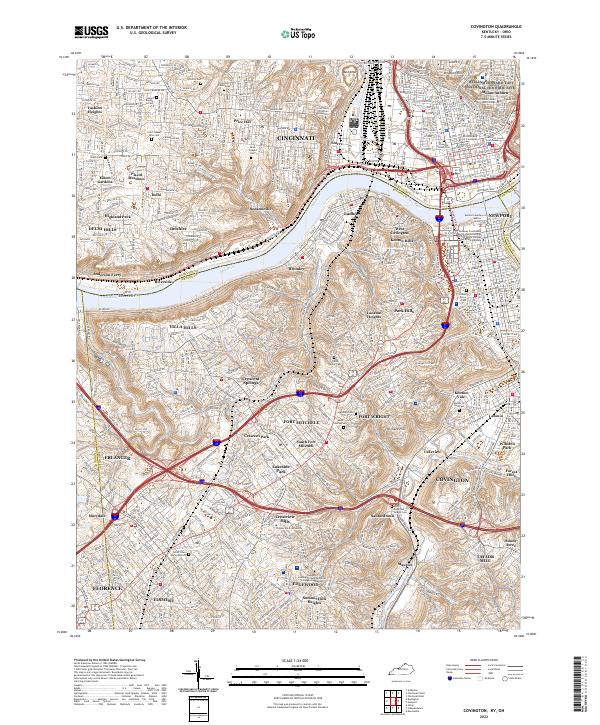
2022 Map of Covington
USGS Topo · Published 2022About this map
The Ohio River carves a deep arc between the urban centers of Cincinnati and Covington in this detailed 2022 survey. On the northern bank, the historic Sedamsville and Delhi neighborhoods rise into the hills of Hamilton Co, while the southern shore is defined by a dense network of suburban and historic communities including Fort Mitchell, Park Hills, and Villa Hills. The map highlights significant cultural sites such as the William Howard Taft National Historic Site and the Art Academy of Cincinnati, alongside numerous long-standing religious landmarks like Saint Josephs Cem and Saint Marys Cem.
Find a feature on this map
97 named features on this map. Tap any name to fly to it.
Don’t see what you’re looking for? This feature index may not catch every label — zoom into the map to look around manually.
Map Details
Editions of this 2022 Covington Map
This is the sole edition of this map. No revisions or reprints were ever made.
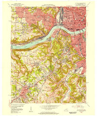
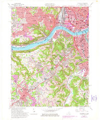
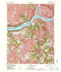
Historical Maps of Austinburg Through Time
5 maps found