
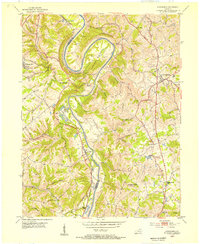
1950 Map of Covington
USGS Topo · Published 1953About this map
The Ohio Kentucky River and Licking River define the northern and eastern edges of this postwar urban and suburban landscape. High ground near the confluence is dominated by Devou Park and residential clusters like Kenton Hills, while the valleys carry the region's industrial backbone. Heavy rail traffic is evident along the Southern, C & O, and L & N RR lines, which navigate the steep topography between the riverbanks and the growing southern suburbs.
Find a feature on this map
69 named features on this map. Tap any name to fly to it.
Don’t see what you’re looking for? This feature index may not catch every label — zoom into the map to look around manually.
Map Details
Editions of this 1950 Covington Map
This is the sole edition of this map. No revisions or reprints were ever made.
Other maps of this area

1898 · East Cincinnati
USGS Topo · 1:62,500

1914 · East Cincinnati
USGS Topo · 1:62,500

1914 · West Cincinnati
USGS Topo · 1:62,500

1929 · Alexandria
USGS Topo · 1:48,000

1936 · Alexandria
USGS Topo · 1:62,500

1950 · Union
USGS Topo · 1:24,000

1950 · Independence
USGS Topo · 1:24,000

1951 · Burlington
USGS Topo · 1:24,000

1952 · Newport
USGS Topo · 1:24,000
1953 · Alexandria
USGS Topo · 1:24,000