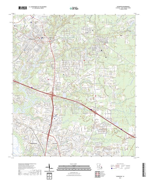
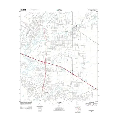
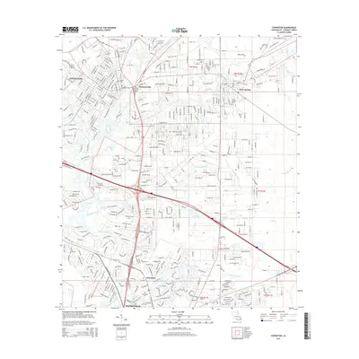
2024 Map of Covington
USGS Topo · Published 2024About this map
Covington and Mandeville anchor this detailed survey of Saint Tammany Parish, where a complex network of waterways defines the low-lying landscape. The Bogue Falaya and Tchefuncte River converge in the west, while the Abita River and Ponchitolawa Creek wind through the central corridor. A high density of burial sites, including the Abita Springs Cem, Chinchuba Cem, and Zion Church Cem, provides a significant resource for genealogists mapping early family settlements across this region. Notable institutions like the Tulane National Primate Research Center and the Saint Tammany Parish Justice Center reflect the area's development. The landscape is marked by subtle rises like Claiborne Hill and numerous small drainages such as Bayou Tete L'Ours and Bayou Chinchuba that flow toward Lake Pontchartrain just to the south.
Find a feature on this map
41 named features on this map. Tap any name to fly to it.
Don’t see what you’re looking for? This feature index may not catch every label — zoom into the map to look around manually.
Map Details
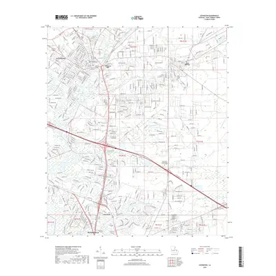
Editions of this 2024 Covington Map
This is the sole edition of this map. No revisions or reprints were ever made.
Historical Maps of Mandeville Through Time
11 maps found
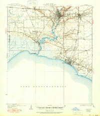
1935 Covington
St. Tammany Parish, LA
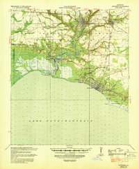
1939 Covington
St. Tammany Parish, LA
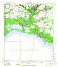
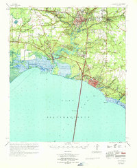
1950 Covington
St. Tammany Parish, LA
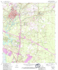
1968 Covington
St. Tammany Parish, LA
1969 Covington
St. Tammany Parish, LA
1998 Covington
St. Tammany Parish, LA
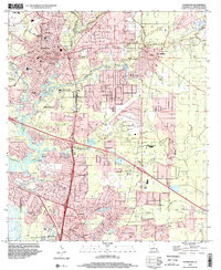
2012 Covington
St. Tammany Parish, LA
2015 Covington
St. Tammany Parish, LA
2018 Covington
St. Tammany Parish, LA
2020 Covington
St. Tammany Parish, LA
2024 Covington
St. Tammany Parish, LA