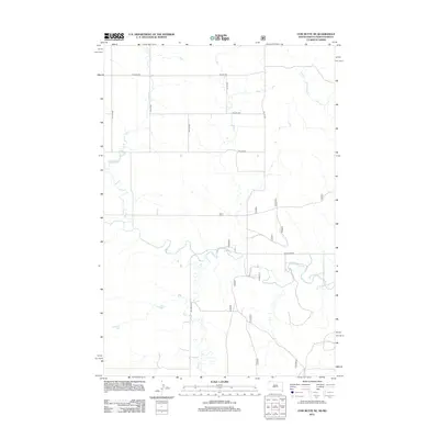
2012 Map of Cow Butte NE
USGS Topo · Published 2012About this map
The N Fork Grand River meanders across the southern portion of this high plains landscape, defining the local drainage system alongside its northern tributaries. This 2012 survey illustrates the section-line road network characteristic of Adams County, with thoroughfares like Ellingson Rd and 2nd Ave SW providing access to this agricultural expanse. The terrain is further etched by numerous seasonal watercourses, including Horse Cr, Buffalo Cr, and Willow Cr in the west, while Slick Cr drains the northeast corner. The map reflects a modern period where traditional rural divisions remain intact, maintained by an orderly grid of numbered streets and avenues such as 12th St SW and 4th Ave SW that service the area's homesteads and ranching interests.
Find a feature on this map
15 named features on this map. Tap any name to fly to it.
Don’t see what you’re looking for? This feature index may not catch every label — zoom into the map to look around manually.
Map Details
Editions of this 2012 Cow Butte NE Map
This is the sole edition of this map. No revisions or reprints were ever made.
Other maps of this area

1953 · Dickinson
USGS Topo · 1:250,000

1954 · Lemmon
USGS Topo · 1:250,000

1957 · Dickinson
USGS Topo · 1:250,000

1957 · Lemmon
USGS Topo · 1:250,000

1969 · Reeder
USGS Topo · 1:24,000

1974 · Hettinger North
USGS Topo · 1:24,000

1974 · Hettinger South
USGS Topo · 1:24,000

1974 · Cow Butte
USGS Topo · 1:24,000

1974 · Cow Butte NE
USGS Topo · 1:24,000

1980 · Mott
USGS Topo · 1:100,000