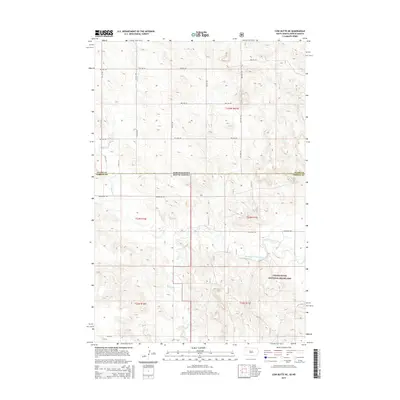
2015 Map of Cow Butte NE
USGS Topo · Published 2015About this map
The Grand River National Grassland dominates the southeastern portion of this map, representing a significant landscape of public land management along the border of North and South Dakota. This high plains region is bisected by the North Fork Grand River, which winds through the southern townships alongside tributaries like Horse Cr. The terrain is characterized by wide-ranging drainage systems and occasional prominent landforms, most notably Cow Butte in the northeast.
Find a feature on this map
25 named features on this map. Tap any name to fly to it.
Don’t see what you’re looking for? This feature index may not catch every label — zoom into the map to look around manually.
Map Details
Editions of this 2015 Cow Butte NE Map
This is the sole edition of this map. No revisions or reprints were ever made.
Other maps of this area

1953 · Dickinson
USGS Topo · 1:250,000

1954 · Lemmon
USGS Topo · 1:250,000

1957 · Dickinson
USGS Topo · 1:250,000

1957 · Lemmon
USGS Topo · 1:250,000

1969 · Reeder
USGS Topo · 1:24,000

1974 · Hettinger North
USGS Topo · 1:24,000

1974 · Hettinger South
USGS Topo · 1:24,000

1974 · Cow Butte
USGS Topo · 1:24,000

1974 · Cow Butte NE
USGS Topo · 1:24,000

1980 · Mott
USGS Topo · 1:100,000