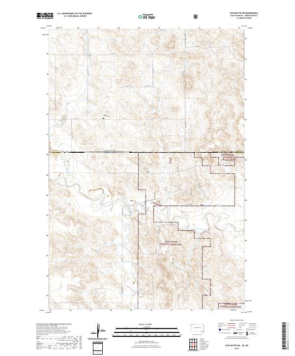
2021 Map of Cow Butte NE
USGS Topo · Published 2021About this map
Grand River National Grassland dominates the southern half of this landscape, marking a transition into the protected prairies of the northern plains. Situated along the border of Adams County, North Dakota, and Perkins County, South Dakota, the area is defined by the winding course of the North Fork Grand River. Several tributaries, including Willow Cr, Horse Cr, and Buffalo Cr, carve through the rolling terrain, illustrating the natural drainage patterns of this rural environment. A few landmarks provide evidence of the area's pioneer history and local family legacy, most notably the North Grand Cem located in the northern reaches. The grid of section lines and local thoroughfares like Ellingson Rd and Bucyrus Rd coordinate the sparse settlement pattern of this borderland region in the early 2020s.
Find a feature on this map
25 named features on this map. Tap any name to fly to it.
Don’t see what you’re looking for? This feature index may not catch every label — zoom into the map to look around manually.
Map Details
Editions of this 2021 Cow Butte NE Map
This is the sole edition of this map. No revisions or reprints were ever made.
Other maps of this area

1953 · Dickinson
USGS Topo · 1:250,000

1954 · Lemmon
USGS Topo · 1:250,000

1957 · Dickinson
USGS Topo · 1:250,000

1957 · Lemmon
USGS Topo · 1:250,000

1969 · Reeder
USGS Topo · 1:24,000

1974 · Hettinger North
USGS Topo · 1:24,000

1974 · Hettinger South
USGS Topo · 1:24,000

1974 · Cow Butte
USGS Topo · 1:24,000

1974 · Cow Butte NE
USGS Topo · 1:24,000

1980 · Mott
USGS Topo · 1:100,000