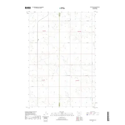
2017 Map of Cow Butte SW
USGS Topo · Published 2017About this map
Peace Valley Cem sits along the western edge of this South Dakota landscape, marking a point of rest in the rural expanses of the northern plains. This 2017 survey documents the boundary between Harding Co and Perkins Co, where the terrain is defined by the intermittent drainage of Horse Cr, Fivemile Cr, and Gooseneck Cr. The road network consists largely of section-line routes and local connectors like Ellingson Rd and Ludlow Rd, reflecting the sparse ranching and agricultural settlement pattern of the region. The map provides a clear look at the intersection of township and range lines across t22n r9e and t21n r10e, illustrating how the Public Land Survey System continues to organize this corner of the state.
Find a feature on this map
17 named features on this map. Tap any name to fly to it.
Don’t see what you’re looking for? This feature index may not catch every label — zoom into the map to look around manually.
Map Details
Editions of this 2017 Cow Butte SW Map
This is the sole edition of this map. No revisions or reprints were ever made.
Other maps of this area

1935 · Reva
USGS Topo · 1:125,000

1954 · Lemmon
USGS Topo · 1:250,000

1957 · Lemmon
USGS Topo · 1:250,000

1968 · Haley
USGS Topo · 1:24,000

1968 · Ralph
USGS Topo · 1:24,000

1969 · Reva NE
USGS Topo · 1:24,000

1974 · Cow Butte
USGS Topo · 1:24,000

1974 · Cow Butte NE
USGS Topo · 1:24,000

1980 · Camp Crook
USGS Topo · 1:100,000

1983 · Cow Butte SE
USGS Topo · 1:24,000