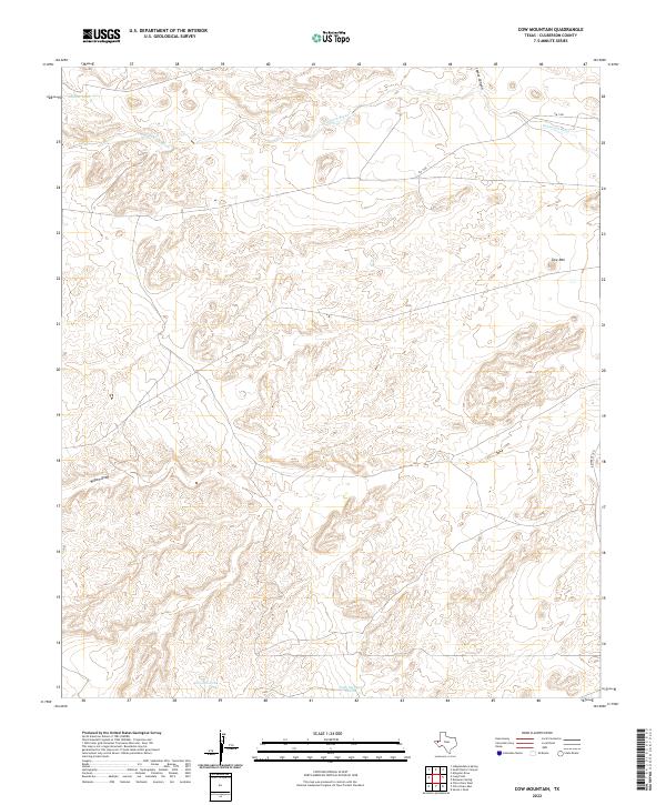
2022 Map of Cow Mountain
USGS Topo · Published 2022About this map
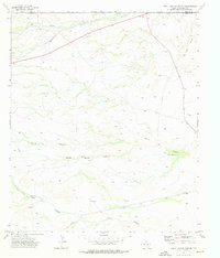
Delaware River flows across the northern reaches of this high-altitude Culberson County landscape, where the elevation rises toward Cow Mtn in the east. This modern survey reflects the enduring cattle ranching infrastructure of West Texas, defined by isolated water sources such as Middle Tank, Division Tank, and Tank Number Twelve. The map captures a high-desert environment where drainage patterns like Willow Draw and Lamar Canyon carve through the terrain, dictating the placement of secondary routes like FM 1108. This is a sparsely populated area where the primary human footprint consists of these scattered tanks and fence lines, supporting livestock in a region defined by its distance from major settlements.
Find a feature on this map
9 named features on this map. Tap any name to fly to it.
Don’t see what you’re looking for? This feature index may not catch every label — zoom into the map to look around manually.
Map Details
Editions of this 2022 Cow Mountain Map
This is the sole edition of this map. No revisions or reprints were ever made.
Other maps of this area

1954 · Van Horn
USGS Topo · 1:250,000

1958 · Van Horn
USGS Topo · 1:250,000

1973 · Seven L Peak
USGS Topo · 1:24,000

1973 · Chico Draw East
USGS Topo · 1:24,000

1973 · Cow Mountain
USGS Topo · 1:24,000

1973 · Delaware Spring
USGS Topo · 1:24,000
1973 · Long Point
USGS Topo · 1:24,000
1973 · Chico Draw West
USGS Topo · 1:24,000
1973 · Independence Spring
USGS Topo · 1:24,000
1973 · South Rector Canyon
USGS Topo · 1:24,000