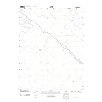
2012 Map of Cow Mountain
USGS Topo · Published 2012About this map
Cow Mountain and the prominent Cow Mountain Ridge anchor this landscape in Lake County, defining a region where steep elevation changes meet small-scale ranching and recreation. The topographic detail shows a network of named drainages like Scotts Cr and Cold Cr that carve through the upland terrain. Settlement patterns are sparse, primarily represented by family-named holdings such as Lamb Ranch, Hemlock Ranch, and Cow Mountain Ranch, indicating the continued importance of historic land divisions in this part of California.
Find a feature on this map
30 named features on this map. Tap any name to fly to it.
Don’t see what you’re looking for? This feature index may not catch every label — zoom into the map to look around manually.
Map Details
Editions of this 2012 Cow Mountain Map
This is the sole edition of this map. No revisions or reprints were ever made.
Other maps of this area
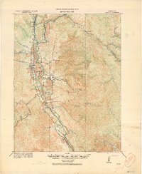
1920 · Ukiah
USGS Topo · 1:62,500
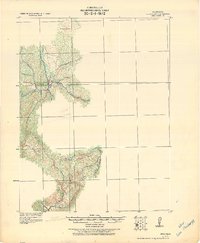
1922 · Hullville
USGS Topo · 1:62,500
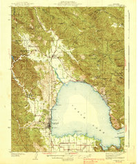
1938 · Lakeport
USGS Topo · 1:62,500
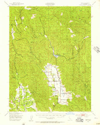
1943 · Pomo
USGS Topo · 1:62,500
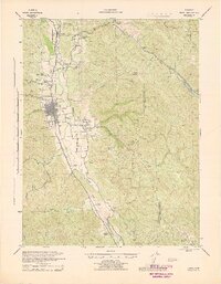
1944 · Ukiah
USGS Topo · 1:62,500
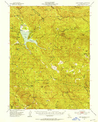
1951 · Lake Pillsbury
USGS Topo · 1:62,500
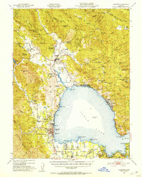
1951 · Lakeport
USGS Topo · 1:62,500
1957 · Ukiah
USGS Topo · 1:250,000
1958 · Purdys Gardens
USGS Topo · 1:24,000
1958 · Ukiah
USGS Topo · 1:24,000