
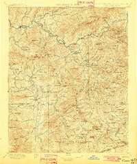
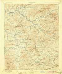
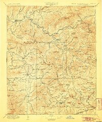
1897 Map of Cowee
USGS Topo · Published 1897About this map
Bryson and Webster serve as the primary hubs in this late-19th-century survey of the Blue Ridge mountain region, where the Tuckasegee River and Oconalufty River shape the paths of early commerce. The rugged terrain of the Plott Balsams and Al Arka Mountains is pierced by the Southern Railway, featuring the notable Cowee Tunnel and a series of stations including Dillsboro, Sylva, Wilmot, and Addie.
Find a feature on this map
219 named features on this map. Tap any name to fly to it.
Don’t see what you’re looking for? This feature index may not catch every label — zoom into the map to look around manually.
Map Details
Editions of this 1897 Cowee Map
4 editions found
Other maps of this area

1886 · Knoxville
USGS Topo · 1:125,000

1886 · Dahlonega
USGS Topo · 1:125,000

1886 · Walhalla
USGS Topo · 1:125,000

1888 · Pickens
USGS Topo · 1:125,000

1891 · Cowee
USGS Topo · 1:125,000

1892 · Dahlonega
USGS Topo · 1:125,000

1892 · Walhalla
USGS Topo · 1:125,000

1892 · Knoxville
USGS Topo · 1:125,000

1893 · Mt Guyot
USGS Topo · 1:125,000

1894 · Asheville
USGS Topo · 1:125,000