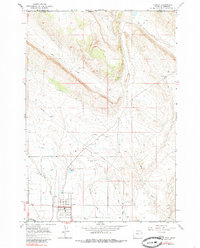
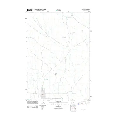
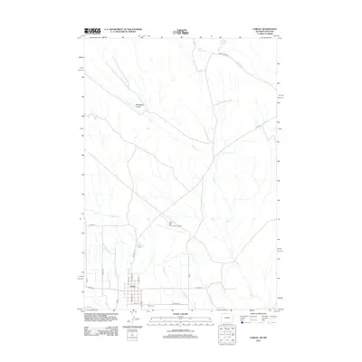
2021 Map of Cowley
USGS Topo · Published 2021About this map
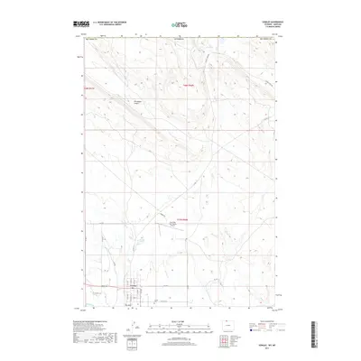
Cowley stands as a vital high-plains settlement in the northern Big Horn Basin, positioned just south of the rising Pryor Mountains. The landscape is defined by its complex irrigation and drainage network, featuring Lateral D-56 and Peterson Cr which support local agriculture before the terrain transitions into the starker Petroglyph Canyon to the north. This modern survey illustrates the proximity of civic infrastructure like the North Big Horn County Airport to traditional sites like the Cowley Cemetery.
Find a feature on this map
33 named features on this map. Tap any name to fly to it.
Don’t see what you’re looking for? This feature index may not catch every label — zoom into the map to look around manually.
Map Details
Editions of this 2021 Cowley Map
This is the sole edition of this map. No revisions or reprints were ever made.
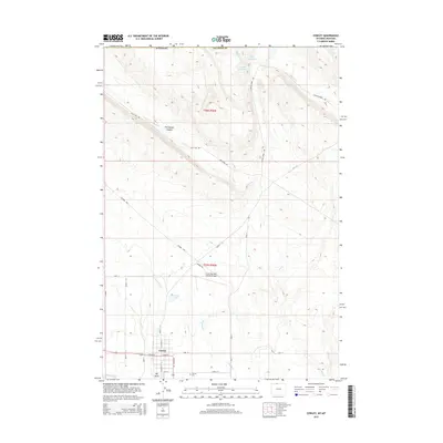
Historical Maps of Cowley Through Time
6 maps found