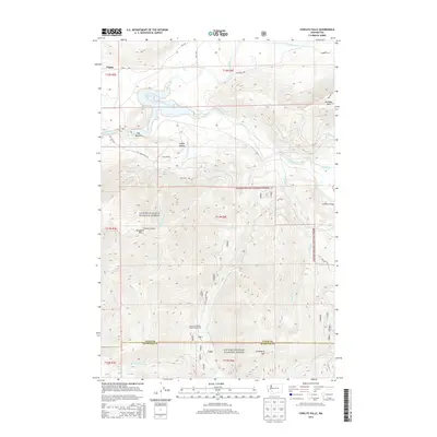
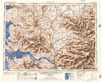
2014 Map of Cowlitz Falls
USGS Topo · Published 2014About this map
Lake Scanewa serves as a central focal point in this 2014 survey, marking the confluence where the Cowlitz River and Cispus River meet within the bounds of the Gifford Pinchot National Forest. The map illustrates a landscape shaped by both water and timber, with the settlement of Cispus and the Kelly Ranch situated near the low-lying Big Bottom area. Forest service infrastructure is well-defined, showing a network of roads such as Falls Rd and Skinner Rd that provide access to high elevation points like Tumwater Mtn and Huffaker Mtn. Natural landmarks including Deep Lake and the Quartz Creek Big Trees Campground highlight the area's importance for timber management and forest recreation. The map also documents the crossing at Huffaker Bridge and the various tributaries like Quartz Cr and Crystal Cr that feed the primary river systems.
Find a feature on this map
34 named features on this map. Tap any name to fly to it.
Don’t see what you’re looking for? This feature index may not catch every label — zoom into the map to look around manually.
Map Details
Editions of this 2014 Cowlitz Falls Map
This is the sole edition of this map. No revisions or reprints were ever made.
Other maps of this area
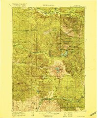
1919 · Mount St Helens
USGS Topo · 1:125,000
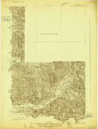
1924 · Mt Rainier
USGS Topo · 1:96,000
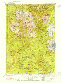
1926 · Steamboat Mtn
USGS Topo · 1:125,000
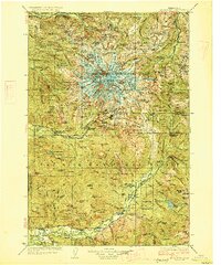
1928 · Mt Rainier
USGS Topo · 1:125,000
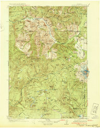
1931 · Steamboat Mtn
USGS Topo · 1:125,000
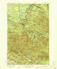
1937 · Eatonville
USGS Topo · 1:125,000

1950 · Yakima
USGS Topo · 1:250,000

1953 · Hoquiam
USGS Topo · 1:250,000
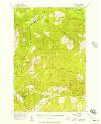
1956 · Mineral
USGS Topo · 1:62,500
1957 · Hoquiam
USGS Topo · 1:250,000