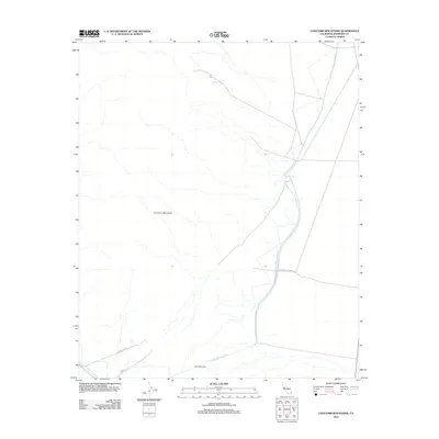
2012 Map of Coxcomb Mountains
USGS Topo · Published 2012About this map
The Colorado River Aqueduct dominates the eastern and southern edges of this desert landscape, tracing a massive infrastructure route through the Riverside County interior. The waterway is part of a complex system of utility corridors that includes the Power Line Rd and Phone Line Rd, reflecting the mid-century industrial expansion required to move resources across the arid basin. Near the southern map border, the water route transitions into the Coxcomb Tunnel, a significant engineering feature beneath the surrounding peaks.
Find a feature on this map
7 named features on this map. Tap any name to fly to it.
Don’t see what you’re looking for? This feature index may not catch every label — zoom into the map to look around manually.
Map Details
Editions of this 2012 Coxcomb Mountains Map
This is the sole edition of this map. No revisions or reprints were ever made.
Other maps of this area

1942 · Amboy
USGS Topo · 1:250,000

1943 · Amboy
USGS Topo · 1:250,000

1943 · Cadiz Valley
USGS Topo · 1:62,500

1943 · Iron Mountains
USGS Topo · 1:62,500

1943 · Coxcomb Mountains
USGS Topo · 1:62,500

1944 · Coxcomb Mountains
USGS Topo · 1:62,500

1952 · Palen Mountains
USGS Topo · 1:62,500

1954 · Salton Sea
USGS Topo · 1:250,000

1954 · Needles
USGS Topo · 1:250,000

1955 · Salton Sea
USGS Topo · 1:250,000