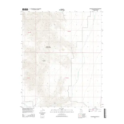
2015 Map of Coxcomb Mountains
USGS Topo · Published 2015About this map
The Coxcomb Mountains dominate this high-desert landscape, with the northern boundary of Joshua Tree National Park cutting across the central portion of the quadrangle. This 2015 survey reveals the critical infrastructure of the California desert, specifically the path of the Colorado River Aqueduct. The aqueduct traverses the eastern plains before disappearing into the earth via the Coxcomb Tunnel, a significant engineering feature that facilitates water transport through the mountain range. Access through this arid environment is limited to Power Line Rd and Highway 177, illustrating the area's remote character and its primary role as a corridor for utilities and conservation. The sharp transition from the open desert floor to the steep, craggy contours of the mountains highlights the geographic barriers that the aqueduct was designed to overcome.
Find a feature on this map
10 named features on this map. Tap any name to fly to it.
Don’t see what you’re looking for? This feature index may not catch every label — zoom into the map to look around manually.
Map Details
Editions of this 2015 Coxcomb Mountains Map
This is the sole edition of this map. No revisions or reprints were ever made.
Other maps of this area

1942 · Amboy
USGS Topo · 1:250,000

1943 · Amboy
USGS Topo · 1:250,000

1943 · Cadiz Valley
USGS Topo · 1:62,500

1943 · Iron Mountains
USGS Topo · 1:62,500

1943 · Coxcomb Mountains
USGS Topo · 1:62,500

1944 · Coxcomb Mountains
USGS Topo · 1:62,500

1952 · Palen Mountains
USGS Topo · 1:62,500

1954 · Salton Sea
USGS Topo · 1:250,000

1954 · Needles
USGS Topo · 1:250,000

1955 · Salton Sea
USGS Topo · 1:250,000