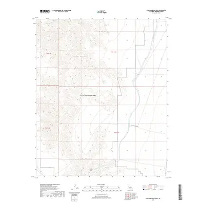
2018 Map of Coxcomb Mountains
USGS Topo · Published 2018About this map
Joshua Tree National Park encompasses a significant portion of this desert landscape, where the high peaks of the Coxcomb Mountains meet the broad expanse of the Chuckwalla Valley. This 2018 survey documents critical water infrastructure in the Mojave Desert, most notably the path of the Colorado River Aqueduct as it traverses the eastern edge of the mountains. A major engineering feat is represented here by the Coxcomb Tunnel, which carries the aqueduct through the subterranean rock of the range. The map also records the primitive route of Coxcomb Monument Rd, illustrating the limited vehicular access provided to these protected lands and the surrounding public domain. The interplay of steep topographic relief and the engineered water systems highlights the challenges of resource management in this arid Riverside County corridor.
Find a feature on this map
10 named features on this map. Tap any name to fly to it.
Don’t see what you’re looking for? This feature index may not catch every label — zoom into the map to look around manually.
Map Details
Editions of this 2018 Coxcomb Mountains Map
This is the sole edition of this map. No revisions or reprints were ever made.
Other maps of this area

1942 · Amboy
USGS Topo · 1:250,000

1943 · Amboy
USGS Topo · 1:250,000

1943 · Cadiz Valley
USGS Topo · 1:62,500

1943 · Iron Mountains
USGS Topo · 1:62,500

1943 · Coxcomb Mountains
USGS Topo · 1:62,500

1944 · Coxcomb Mountains
USGS Topo · 1:62,500

1952 · Palen Mountains
USGS Topo · 1:62,500

1954 · Salton Sea
USGS Topo · 1:250,000

1954 · Needles
USGS Topo · 1:250,000

1955 · Salton Sea
USGS Topo · 1:250,000