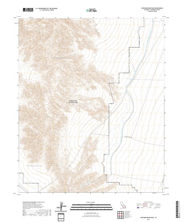
2021 Map of Coxcomb Mountains
USGS Topo · Published 2021About this map
The Coxcomb Mountains dominate this 2021 landscape, their complex topography forming a natural barrier along the eastern edge of Joshua Tree National Park. The survey highlights the intersection of protected wilderness and vital infrastructure, most notably where the Colorado River Aqueduct traverses the basin. This massive water conveyance system winds through the arid terrain, illustrating the engineering required to move water across the California desert.
Find a feature on this map
10 named features on this map. Tap any name to fly to it.
Don’t see what you’re looking for? This feature index may not catch every label — zoom into the map to look around manually.
Map Details
Editions of this 2021 Coxcomb Mountains Map
This is the sole edition of this map. No revisions or reprints were ever made.
Other maps of this area

1942 · Amboy
USGS Topo · 1:250,000

1943 · Amboy
USGS Topo · 1:250,000

1943 · Cadiz Valley
USGS Topo · 1:62,500

1943 · Iron Mountains
USGS Topo · 1:62,500

1943 · Coxcomb Mountains
USGS Topo · 1:62,500

1944 · Coxcomb Mountains
USGS Topo · 1:62,500

1952 · Palen Mountains
USGS Topo · 1:62,500

1954 · Salton Sea
USGS Topo · 1:250,000

1954 · Needles
USGS Topo · 1:250,000

1955 · Salton Sea
USGS Topo · 1:250,000