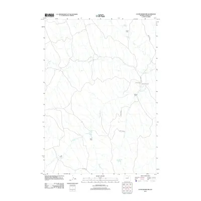
2012 Map of Coyer Reservoir
USGS Topo · Published 2012About this map
Fourmile Ranch and its associated Iberlin Strip Airport anchor this high plains landscape in Johnson County, Wyoming. The drainage patterns of the Fourmile Cr system, including its North, South, and Joe tributaries, dictate the placement of ranching infrastructure. Ranch roads like Iberlin 4-Mile Rd and Hoe Ranch Rd navigate between numerous namesake draws and reservoirs, which serve as critical water management points in this arid terrain. Small-scale water storage features like Coyer Reservoir, Iberlin Reservoir, and Flaxa Number 1 Reservoir are distributed along natural seasonal channels like Cat Cr, showing how the local cattle industry adapted to the geography of the Powder River Basin region.
Find a feature on this map
15 named features on this map. Tap any name to fly to it.
Don’t see what you’re looking for? This feature index may not catch every label — zoom into the map to look around manually.
Map Details
Editions of this 2012 Coyer Reservoir Map
This is the sole edition of this map. No revisions or reprints were ever made.
Other maps of this area

1953 · Hoe Ranch
USGS Topo · 1:24,000

1955 · Sheridan
USGS Topo · 1:250,000

1955 · Arminto
USGS Topo · 1:250,000

1958 · Sheridan
USGS Topo · 1:250,000

1958 · Arminto
USGS Topo · 1:250,000

1961 · Provence Ranch
USGS Topo · 1:24,000

1961 · Elaine Draw
USGS Topo · 1:24,000

1962 · Sheridan
USGS Topo · 1:250,000

1962 · Arminto
USGS Topo · 1:250,000
1972 · Crazy Woman Ranch
USGS Topo · 1:24,000