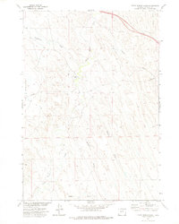
1972 Map of Crazy Woman Ranch
USGS Topo · Published 1975About this map
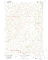
Crazy Woman Ranch serves as a central landmark in this early 1970s Wyoming landscape, where the meandering course of Crazy Woman Creek cuts through the high plains of Johnson County. The terrain is defined by a dense network of drainage patterns, including Bilderback Creek and several prominent draws like Morris Draw, Green Draw, and Walker Draw. A distinctive landform known as The Wallows occupies the western edge of the quadrangle, illustrating the complex natural topography that local ranchers and surveyors navigated.
Find a feature on this map
16 named features on this map. Tap any name to fly to it.
Don’t see what you’re looking for? This feature index may not catch every label — zoom into the map to look around manually.
Map Details
Editions of this 1972 Crazy Woman Ranch Map
This is the sole edition of this map. No revisions or reprints were ever made.
Other maps of this area

1900 · Fort McKinney
USGS Topo · 1:125,000

1903 · Fort McKinney
USGS Topo · 1:125,000

1955 · Sheridan
USGS Topo · 1:250,000

1958 · Sheridan
USGS Topo · 1:250,000

1962 · Sheridan
USGS Topo · 1:250,000
1970 · Trabing
USGS Topo · 1:24,000
1970 · Buffalo SE
USGS Topo · 1:24,000
1972 · Ploessers Draw
USGS Topo · 1:24,000
1972 · Pine Gulch
USGS Topo · 1:24,000
1972 · Bear Draw
USGS Topo · 1:24,000