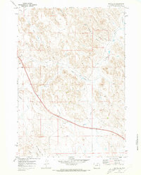
1970 Map of Buffalo SE
USGS Topo · Published 1973About this map
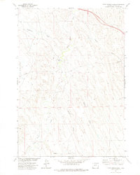
Redman Ditch and a complex network of ephemeral watercourses define this high-plains landscape in Johnson County. Surveyed at the start of the 1970s, the terrain is shaped by several named drainages including Healy Draw, Mc Neese Draw, and Negro Creek, which flow toward the more prominent Dry Creek. The area appears largely dedicated to ranching and resource extraction, characterized by numerous water points like the Stockrest Well and various wells scattered across the township sections.
Find a feature on this map
22 named features on this map. Tap any name to fly to it.
Don’t see what you’re looking for? This feature index may not catch every label — zoom into the map to look around manually.
Map Details
Editions of this 1970 Buffalo SE Map
This is the sole edition of this map. No revisions or reprints were ever made.
Other maps of this area

1900 · Fort McKinney
USGS Topo · 1:125,000

1903 · Fort McKinney
USGS Topo · 1:125,000

1955 · Sheridan
USGS Topo · 1:250,000

1958 · Sheridan
USGS Topo · 1:250,000

1962 · Sheridan
USGS Topo · 1:250,000
1970 · Buffalo
USGS Topo · 1:24,000

1970 · Buffalo NE
USGS Topo · 1:24,000
1970 · Lake De Smet East
USGS Topo · 1:24,000
1970 · T A Ranch
USGS Topo · 1:24,000
1972 · Crazy Woman Ranch
USGS Topo · 1:24,000