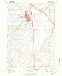
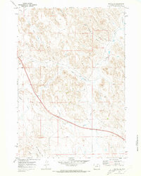
1970 Map of Buffalo
USGS Topo · Published 1973About this map
Buffalo serves as the focal point of this 1970s survey, showing the town's footprint as it expanded along Clear Creek. The map documents a blend of municipal growth and long-standing historical boundaries, notably the Old Military Reservation Boundary that cuts across the western hills and draws. Civic life is well-represented through the presence of the Fairground, Prosinski Park, and the High Sch on the town's east side, while the local infrastructure includes a Sewage Disposal Pond and an Aqueduct.
Find a feature on this map
34 named features on this map. Tap any name to fly to it.
Don’t see what you’re looking for? This feature index may not catch every label — zoom into the map to look around manually.
Map Details
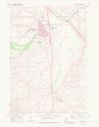
Editions of this 1970 Buffalo Map
2 editions found
Other maps of this area

1900 · Fort McKinney
USGS Topo · 1:125,000

1903 · Fort McKinney
USGS Topo · 1:125,000

1955 · Sheridan
USGS Topo · 1:250,000

1958 · Sheridan
USGS Topo · 1:250,000

1962 · Sheridan
USGS Topo · 1:250,000

1967 · Lake De Smet West
USGS Topo · 1:24,000
1967 · Klondike Ranch
USGS Topo · 1:24,000
1967 · North Ridge
USGS Topo · 1:24,000

1970 · Buffalo NE
USGS Topo · 1:24,000
1970 · Buffalo SE
USGS Topo · 1:24,000