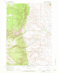
1967 Map of Klondike Ranch
USGS Topo · Published 1971About this map
Bighorn National Forest dominates the western half of this Wyoming landscape, where the high elevations of Crazy Woman Mountain and Sisters Hill drop sharply into the rangeland below. This topography is defined by the complex drainage systems of Crazy Woman Creek and Muddy Creek, which emerge from Crazy Woman Canyon and Muddy Canyon respectively. The map captures an era of ranching and early irrigation, documented through a network of named waterworks including the Blue Gap Ditch, Watkins Ditch, and Red Bank Ditch No 2.
Find a feature on this map
26 named features on this map. Tap any name to fly to it.
Don’t see what you’re looking for? This feature index may not catch every label — zoom into the map to look around manually.
Map Details
Editions of this 1967 Klondike Ranch Map
2 editions found
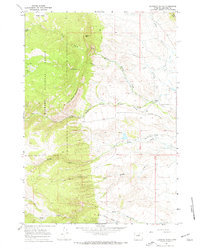
Other maps of this area

1900 · Fort McKinney
USGS Topo · 1:125,000

1903 · Fort McKinney
USGS Topo · 1:125,000

1955 · Sheridan
USGS Topo · 1:250,000

1958 · Sheridan
USGS Topo · 1:250,000

1962 · Sheridan
USGS Topo · 1:250,000

1967 · Caribou Creek
USGS Topo · 1:24,000
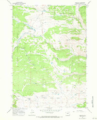
1967 · Hazelton
USGS Topo · 1:24,000
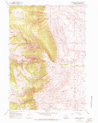
1967 · Robinson Canyon
USGS Topo · 1:24,000
1967 · Hunter Mesa
USGS Topo · 1:24,000
1967 · North Ridge
USGS Topo · 1:24,000